This is the first in a three-part series examining how communities and researchers are tracking biodiversity across Papua New Guinea’s Managalas Plateau.
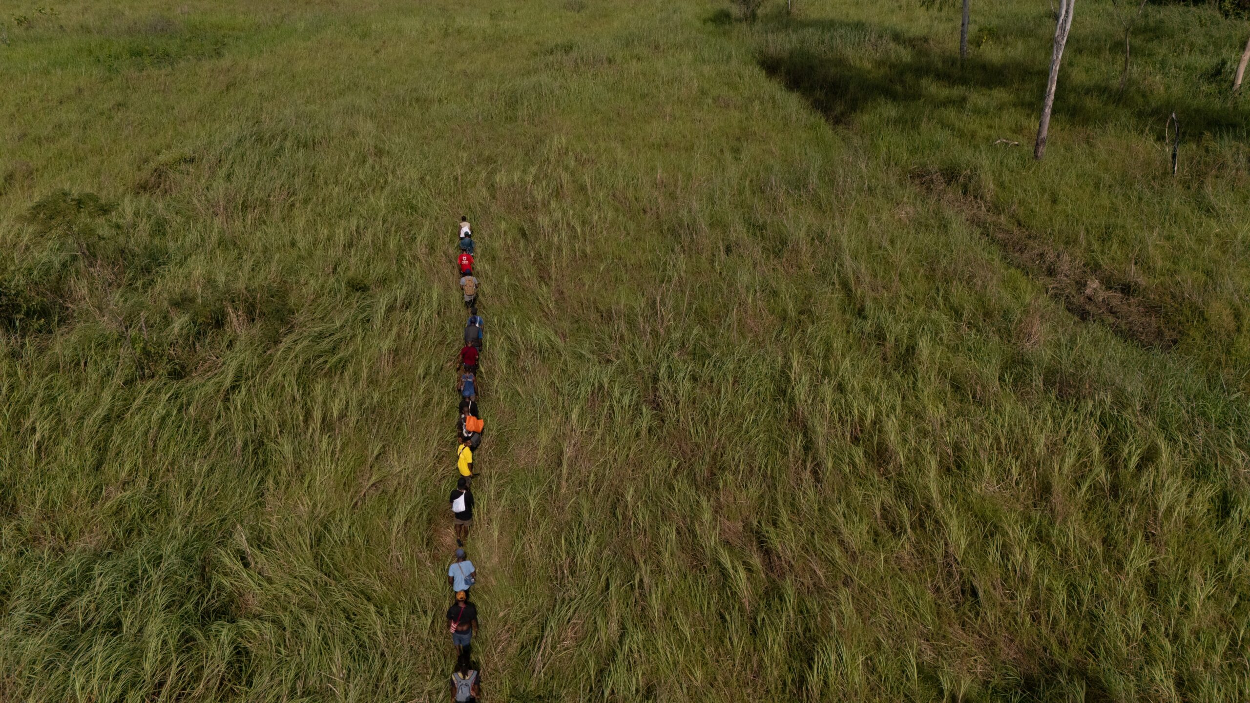
In a forest clearing in the Managalas Conservation Area (MCA) in Papua New Guinea’s Oro Province, a plushie penguin in a toy car rolls slowly across the red dirt. A camera clicks nearby, and a group of people cheer.
The scenario is not some kids’ game, but an experiment that forms part of an important and complex project: mapping the biodiversity of the Managalas Plateau.
On this day, a group of freshly minted Biodiversity Team Leaders — local young people trained to track the Plateau’s flora and fauna — are working with scientists from the Landscape Alliance to set up camera traps and acoustic monitoring devices.
Leader sets up camera traps. Photo by Russell Wai / Landscape Alliance
The Sunday-driving penguin is there to help the group work out how large animals need to be to trigger the cameras, and at what angle they should be set up to get the best data.
The gritty practicalities of monitoring biodiversity in Managalas are manifold, involving epic jungle journeys, vast volumes of data and diverse methods ranging from traditional ecological knowledge to eDNA.
But first, we need to look at the bigger picture: why bother?
To make a meaningful management plan for the Plateau, clan groups must know as much as possible about what’s living where, whether that’s changing and why and how the community can manage the landscape for multiple benefits. This is the current task of Managalas’ 152 clans, local NGO Managalas Conservation Foundation (MCF) and EU-funded partners Landscape Alliance. Such information is especially crucial as the partners look toward sustainable financing options such as biodiversity credits, which rely on decent sets of baseline data.
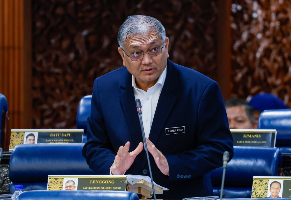
“There is a lot of conservation value in the wider landscape,” said Landscape Alliance ecologist Rhett Harrison, who was involved in the 2025 onsite monitoring activities. “We’ve been finding clues that Managalas is really up there in being one of the top diverse rainforests in the world.”

That’s not such a surprise, because the island of New Guinea is known to be very diverse, just as much so as Borneo and Western Amazonia. But there’s a lot less information about what’s living there, largely because of a dearth of research and monitoring attention and resources. For instance, “there are very few recorded examples of things like birdsong from Papua New Guinea, because not many people have gone there to record species,” said Gabriel Leite of wildlife monitoring nonprofit WildMon, which is collaborating with MCA to help track its biodiversity.
Records confirm that a number of rare and/or protected species are present in the conservation area — including birds of paradise, dwarf cassowaries, long-beaked echidnas and tree kangaroos, among others. There are even reports in the Plateau’s higher reaches of singing dogs, an ancient dog lineage that ‘sings’ instead of barking and is closely related to the Australian dingo. However, “for a lot of these species, we don’t actually have the data to know if they’re endangered or not,” said Harrison.
Partners with Melanesians (PwM), the Port Moresby-based NGO that worked with Managalas communities for decades to declare the Plateau a conservation area in 2017, instigated several biodiversity surveys during its time there, but their coverage was limited and a lot of the information gathered was lost in an IT outage.
These days, many community members on the Plateau have concerns about researchers coming to gather information about their area. As MCF Chair Malchus Kajia explained, “People are suspicious about information that has been collected from us. They tell us that information is money, and with information [the researchers] can receive funds from elsewhere, without those funds reaching us.”
Our media team witnessed this mistrust in action during a recent visit to the Plateau. When stopping in a village to talk to community members about local animal life, several people thought that the team members were trying to take photos of the butterflies in the area to sell for profit.


Photo by Russell Wai / Landscape Alliance

Photo by Russell Wai / Landscape Alliance
Now, with broadscale biodiversity mapping as the goal, MCF and its partners are trying to do science differently so that community members are involved throughout the process and can take ownership of the data.
For instance, they’re training up a team of local young people as Biodiversity Team Leaders, who are carrying out increasing amounts of the fieldwork for the biodiversity survey as they upskill. The team is also sharing data back with community members as it’s analysed, and will store it on a local network that can be accessed by all.
The process is already raising some important questions. For instance, given the sheer bulk of data coming from the camera traps — 1.5 terabytes per grid per month — consultant biologist Mellie Musonera wonders “how best should we give that back to communities?”

Harrison also questions the usefulness of the data for management decision-making, since it takes about 20 years of monitoring to really get a grasp of population trends. However, he says, the process of involving local people in biodiversity monitoring has its own benefits in terms of awareness raising and capacity development. “We want them to be involved in it so that they gain some appreciation of what it is they’re ultimately going to get paid for,” he says.
This series tracks MCA’s journey to find out exactly what’s in its forests: a process that offers key insights for biodiversity monitoring across Papua New Guinea.
Upcoming instalments feature local youth learning to deploy camera traps and sound recorders, a Brazilian biologist explaining how the Managalas rainforest compares to the Amazon and an examination of various ways of learning about what’s inside a forest, from going deep into local knowledge to exploring the ethics and opportunities of emerging techniques like eDNA sampling.
For more information on this project, please contact Landscape Alliance’s PNG Program Lead Will Unsworth: [email protected]